Luxor Climate : Weather and Location

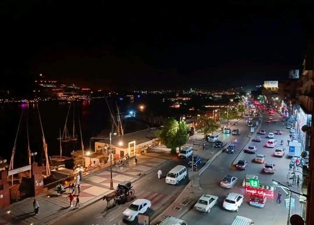
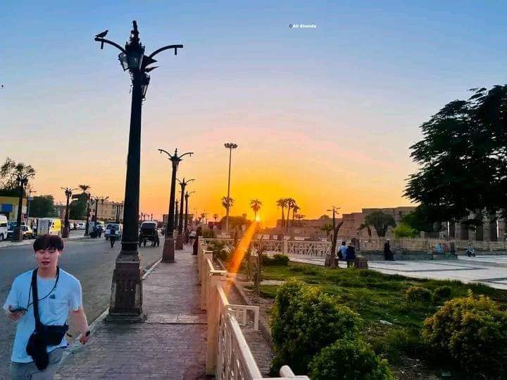
Luxor is an Egyptian governorate located in the southern Upper Egypt region, with its centers and cities distributed along both banks of the Nile River. Its capital is the city of Luxor, which in ancient times represented Thebes, the capital of Egypt during several Pharaonic periods. The governorate was established in accordance with Presidential Decree No. 378 of 2009 issued on December 9, 2009. The governorate possesses a rare collection of archaeological sites, many of which are still well-preserved. Among the most famous are: the Luxor Temple, the Karnak Temples, the Valley of the Kings, the Valley of the Queens, the mortuary temples, the Esna Temple, and others, in addition to the unique artifacts displayed at the Luxor Museum. The capital of the province, Thebes, remained the capital of Egypt until the beginning of the Sixth Dynasty, when the capital moved to Memphis in the north.The name of the governorate was inspired by the name of its capital, Luxor, which has had many names throughout the ages. The most famous of these were the City of a Hundred Gates, the City of the Sun, the City of Light, and the City of the Scepter “Waset.” The Arabs called it “Luxor” due to the abundance of its palaces “temples.” Luxor attracts a large segment of incoming tourism to Egypt, due to its rich human heritage that has significantly contributed to connecting the present with ancient Egyptian civilization. It was chosen as the Capital of Global Tourism for 2016 and the Capital of Arab Culture for 2017. The national holiday of the governorate was the day the decision to establish it was issued on December 9, until May 20, 2015, when the Cabinet approved changing the date of the national holiday of the governorate to November 4 each year, which coincides with the anniversary of the discovery of Tutankhamun’s tomb.The governorate covers an area of 2959.6 km² between the latitudes of 25-36° North and the longitudes of 32-33° East. It is administratively divided into Luxor City, Al-Bayadia Center, Al-Qurna Center, Armant Center, Al-Tod Center, Esna Center, New Luxor City, and New Thebes City. It is bordered to the north by Qena Governorate, to the south by Aswan Governorate, to the east by Red Sea Governorate, and to the west by New Valley Governorate.
Geography and population

The Nile River flows through Upper Egypt in three zones. Before entering Egypt and up to Esna, it flows over the Nubian sandstone plateau with its ancient hardened sandy rocks. Between Esna and Erment, it transforms into the Cretaceous period, where the banks consist of chalky rocks. From Erment and Qena to Cairo, the Eocene limestone plateau prevails. At Luxor, the western edge rises about 400 meters above the floodplain level, while the eastern edge is lower and more gradual. The Luxor Governorate is located in the southern region of Upper Egypt on both banks of the Nile River along its northward axis, specifically at the beginning of the Qena Bend, which is considered the largest and most dangerous bend in the river with its three axes forming the sides of an incomplete open square. The population of the governorate in 2012 was approximately 1,300,000 people. The highest summer temperatures reach 41 degrees Celsius, and the lowest winter temperatures drop to 8.5 degrees Celsius.
Location
Luxor Governorate is located over an area of 2959.6 km² between the latitudes of 25°36’ North and 32°33’ East, and is approximately 670 km from Cairo and about 220 km from Aswan.
Climate
Luxor is dominated by a dry desert climate with little rainfall; however, heavy rains sometimes fall on the hills and mountains of the Eastern Desert during periods of unstable weather, causing what is known as floods. The climate varies with the changing of the four seasons, with winter and summer characterized by stable weather conditions, while spring and autumn are marked by unstable weather and strong winds carrying dust.


Comments are closed